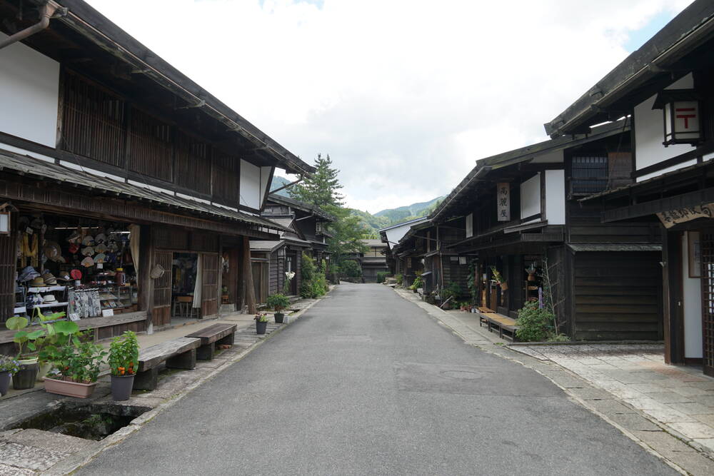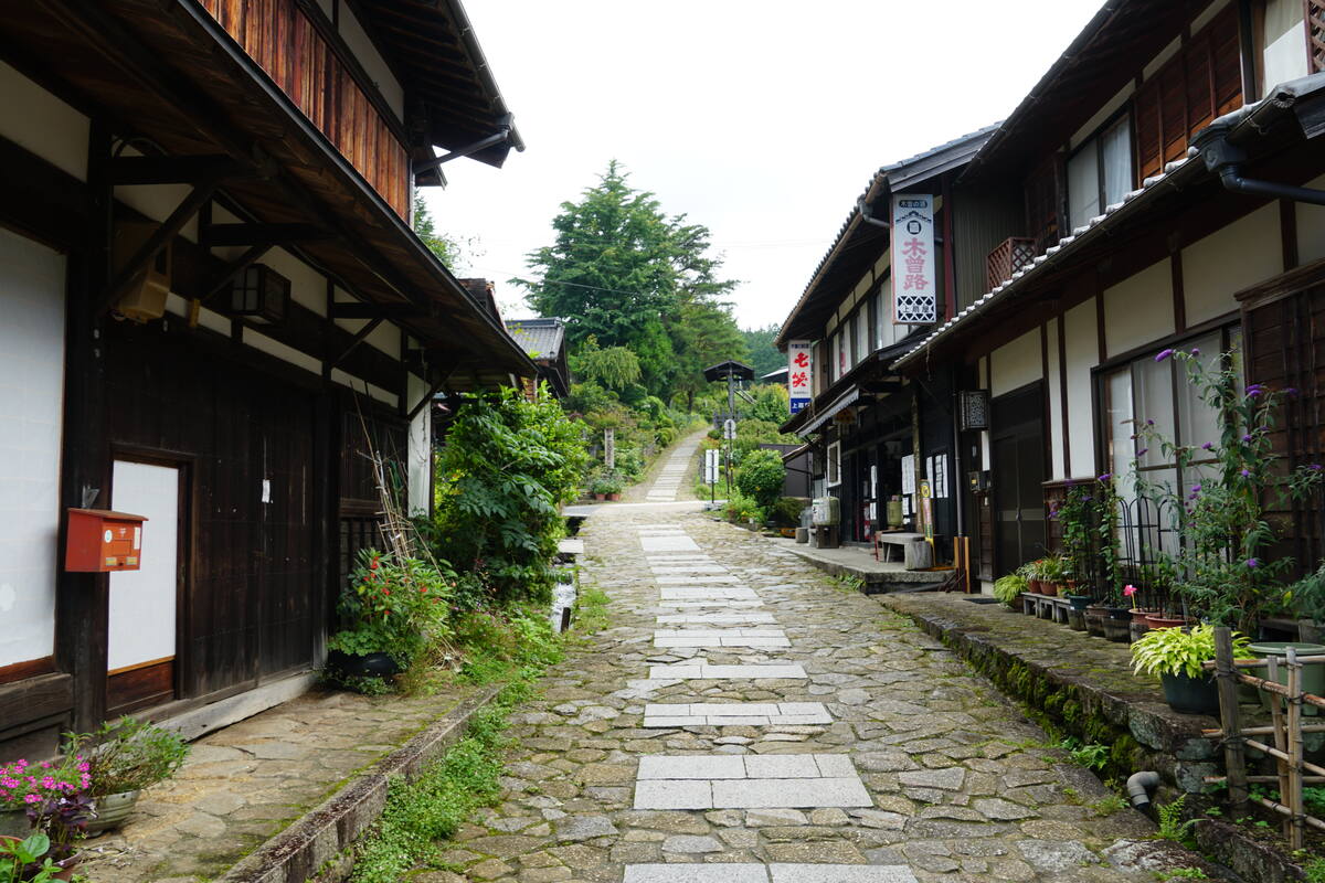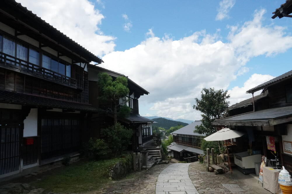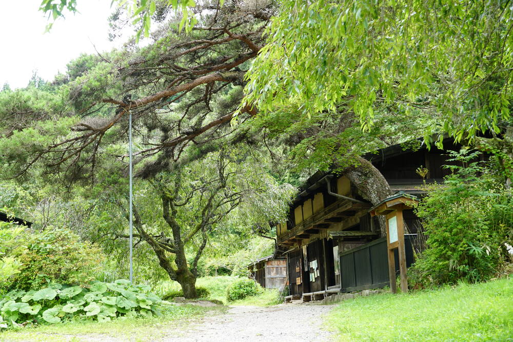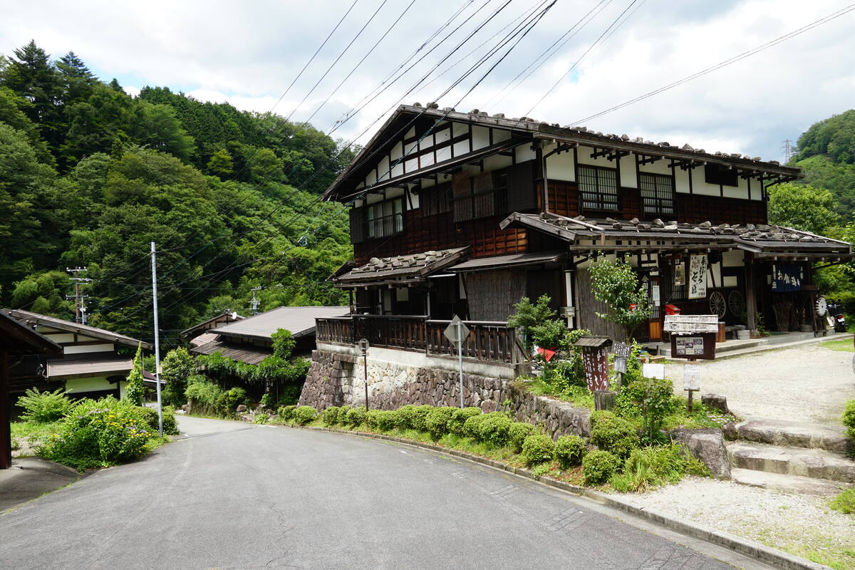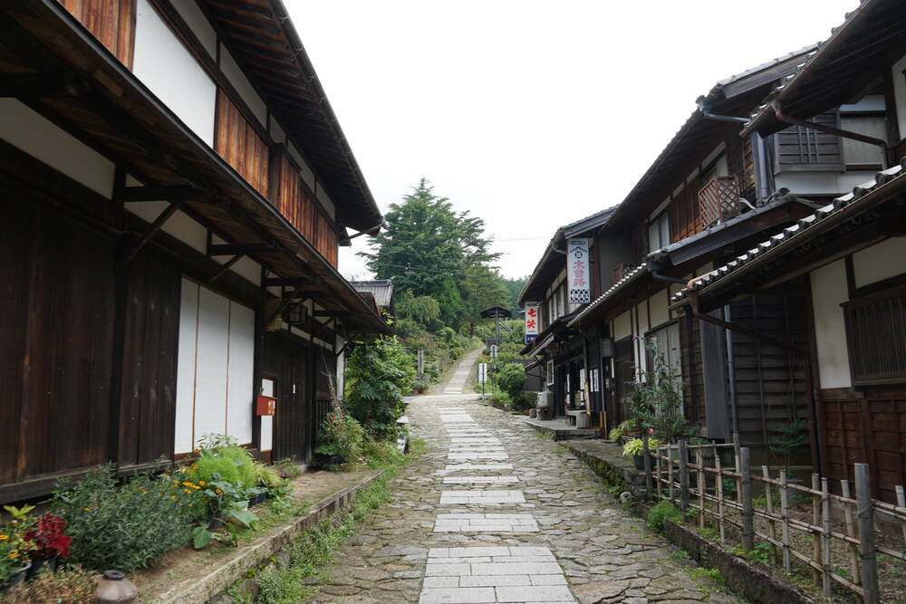
The Nakasendo is one of those places where Japan does what Japan does best: preserve something so well that you forget what century you're in. For 540 kilometers, this old highway connected Edo with Kyoto, running through mountain passes instead of along the coast like its more famous cousin, the Tokaido. The stretch between Tsumago and Magome in the Kiso Valley is what most people come to walk today, and for good reason. These two post towns have been restored with an obsessive attention to detail that borders on the surreal. No telephone poles. No modern signage. Dark timber buildings with latticed windows and tiled roofs, exactly as they looked when samurai and merchants stopped here for the night.
The Post Towns
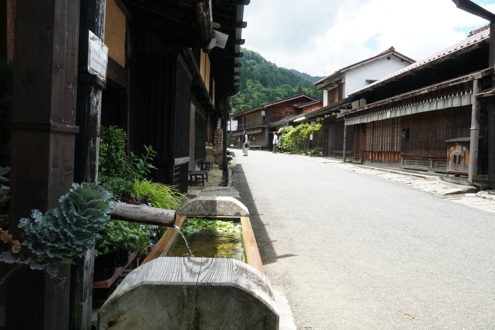
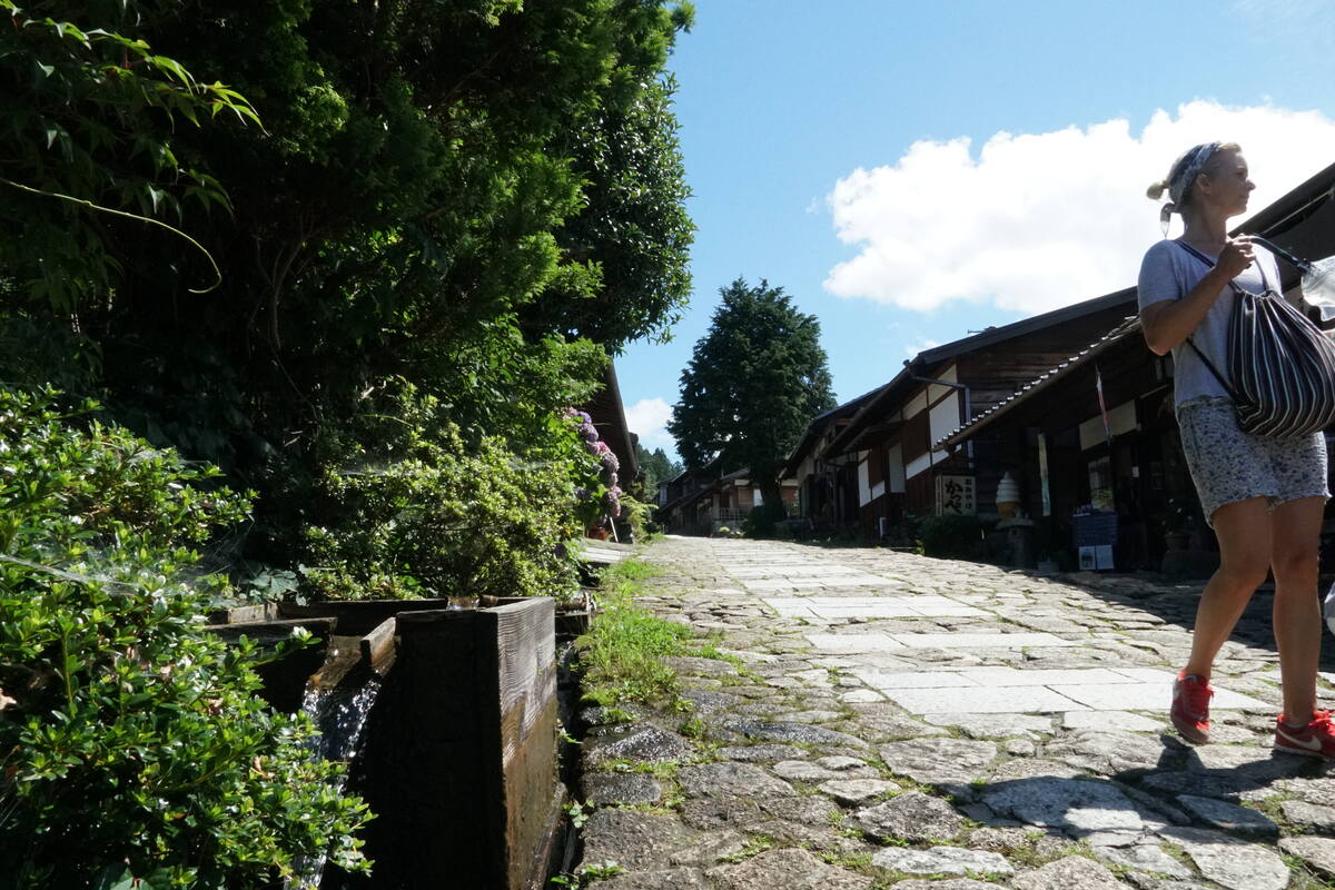
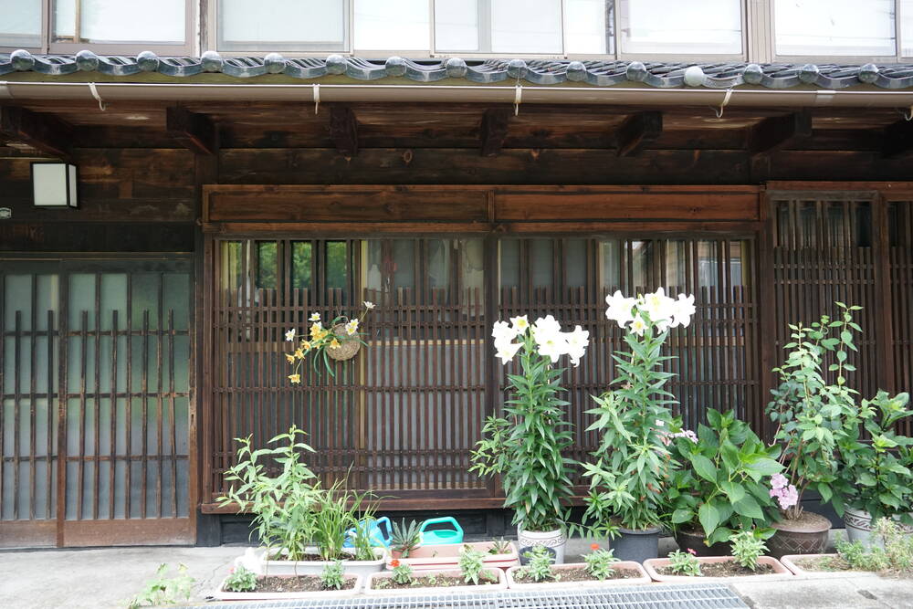
What makes Tsumago and Magome special isn't just that they look old. It's that they feel lived in. Walk through early enough in the morning and you'll see locals tending their gardens, watering plants in front of their houses, arranging flowers in wooden troughs that double as decorative water features along the street. These aren't stage sets. People live here, and the fact that their daily routines happen to look like a scene from a period drama is just part of the charm.
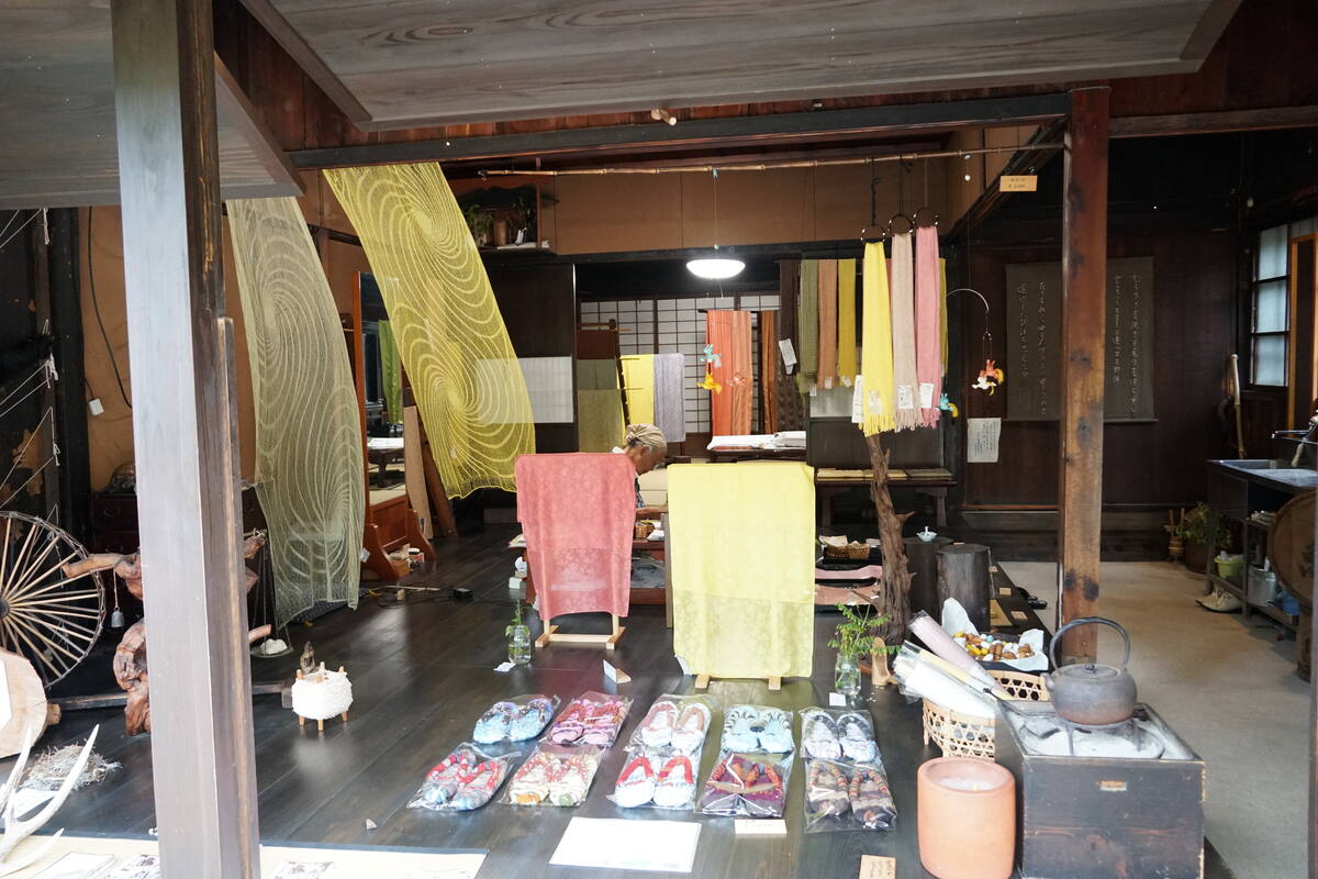
Both towns have small museums and restored post stations where you can walk inside and see how travelers were received centuries ago. Rooms with low tables, tatami floors, shoji screens filtering the light. Sit down in one of these rooms and let the silence settle. The wood creaks. The light shifts. Outside, a few tourists walk past on the stone-paved street, but inside it's just you and 400 years of history.
There are small sake shops where bottles line the shelves behind dark wooden facades, tiny restaurants serving soba noodles made from local buckwheat, and souvenir shops that somehow manage not to feel tacky. The towns are small enough that you can walk through each one in twenty minutes, but you'll want longer. Bring a camera. Every angle works here.
The Hike
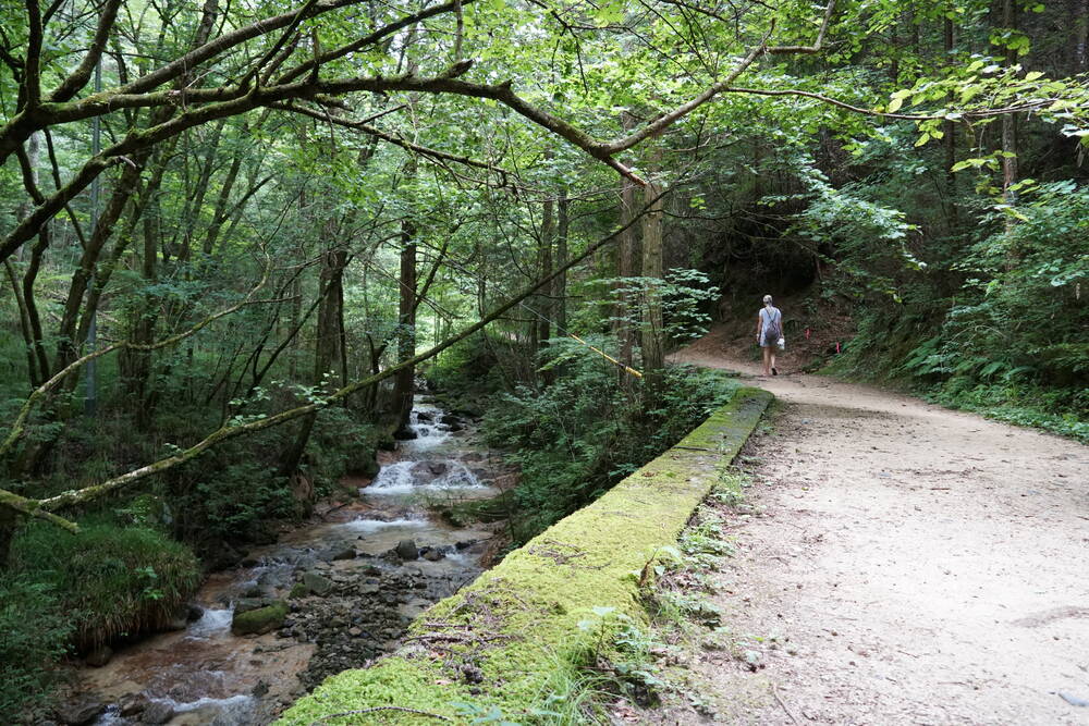
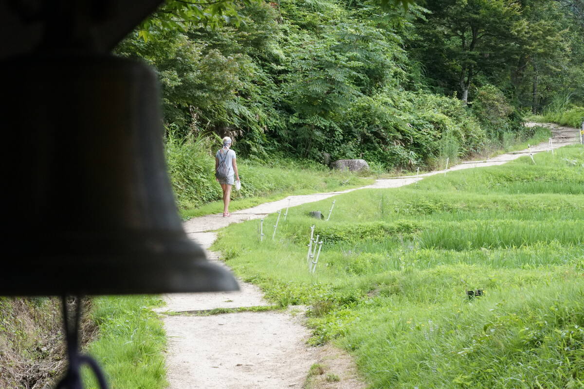
The trail between the two towns is about seven kilometers and takes around two to three hours depending on your pace and how often you stop. You'll stop often. The path climbs through cedar forest along a mountain stream, crossing wooden bridges and winding past mossy stone walls that look like they've been here since the trail was first built. The air smells like wet earth and pine needles. In summer, the canopy is so dense that it's noticeably cooler under the trees than in the open sections.
One of the things that surprised me most about this trail is the small Buddhist figures you find tucked into the forest along the way. Stone Jizo statues half-hidden in moss and ferns, sometimes alone, sometimes in groups, always placed at spots where you instinctively want to pause. Near stream crossings, at trail junctions, next to waterfalls. They've been standing here for centuries, and finding them feels less like discovering something and more like being let in on a secret.
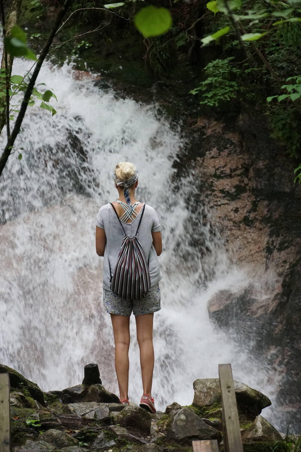
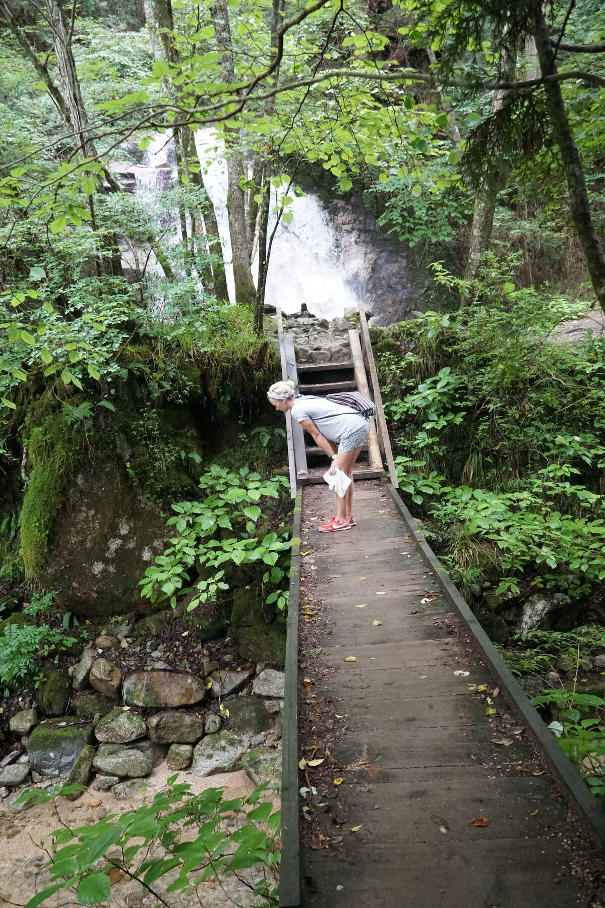
There are waterfalls along the trail, too. Nothing massive, but the kind of waterfalls that are perfect for this landscape: white water crashing over dark rock, framed by green, with a wooden viewing platform where you can stand and feel the spray on your face. It's the kind of moment that makes you forget about the next post on Instagram and just stand there.
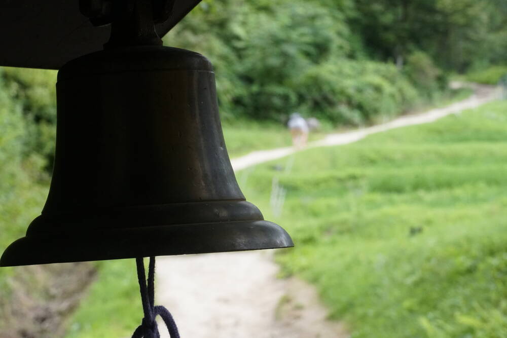
Bear Bells and Mountain Passes
There are bear warning signs along the trail, complete with yellow signs showing a cartoon bear and instructions to make noise while hiking. You can buy bear bells at the tourist information centers in both towns, and you'll hear them jingling on the backpacks of other hikers throughout the walk. The bears are real, technically. This is mountain forest, and black bears do live in these valleys. But the bells feel more like a ritual than a necessity. They're part of the experience, like buying a stamp for your hiking passport or tying a paper fortune to a tree branch at a shrine. You do it because everyone does it, and because the sound of a small bell ringing through a quiet forest is actually quite beautiful.
The mountain pass between the two towns is the highest point of the hike and offers views across the Kiso Valley that make the climb worth every step. Forested ridges rolling into the distance, a winding road far below, and on clear days, the peaks of the Central Alps rising above the treeline. This is the Japan that doesn't make it into the tourism brochures: not neon-lit, not crowded, not curated. Just mountains, forest, and sky.
The Tea Station
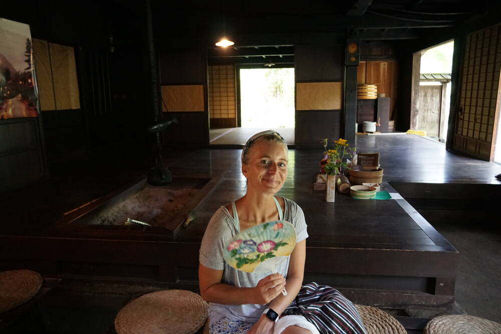
Somewhere between the two towns, roughly at the mountain pass, there's a small tea station run by a local. When I was there, an elderly man was sitting behind a low counter, cooking something over an open fire. Smoke drifting up into the wooden roof beams, a kettle hanging from a hook, cups laid out on a weathered surface. He offered tea and simple food to passing hikers, the way people have done on this trail for centuries. No credit card machine. No menu in four languages. Just a man, a fire, and the mountain.
I sat there for a while, watching other hikers arrive and leave, some in a hurry to make the next town, others smart enough to slow down and appreciate what was in front of them. These are the moments I travel for. Not the famous sights, not the bucket list checkmarks, but the unexpected encounters that you couldn't have planned if you tried.
Practical Info
Location: Magome-Tsumago, Kiso Valley, Nagano Prefecture. View on Google Maps
Trail: Tsumago to Magome (or reverse), approx. 7 km
Duration: 2 to 3 hours walking time
Difficulty: Easy to moderate, some uphill sections
Access: Both towns reachable by bus from Nagiso Station (JR Chuo Line)
Luggage transfer: Available between the two towns (ask at tourist info)
Best season: Late spring through autumn. Summer is lush and green but hot. Autumn colors are stunning.
Campervan tip: Parking available in both towns. Walk one direction, take the bus back to your vehicle.
Note: The trail is well marked. Bear bells available at tourist info centers. Wear proper hiking shoes, the stone sections can be slippery.